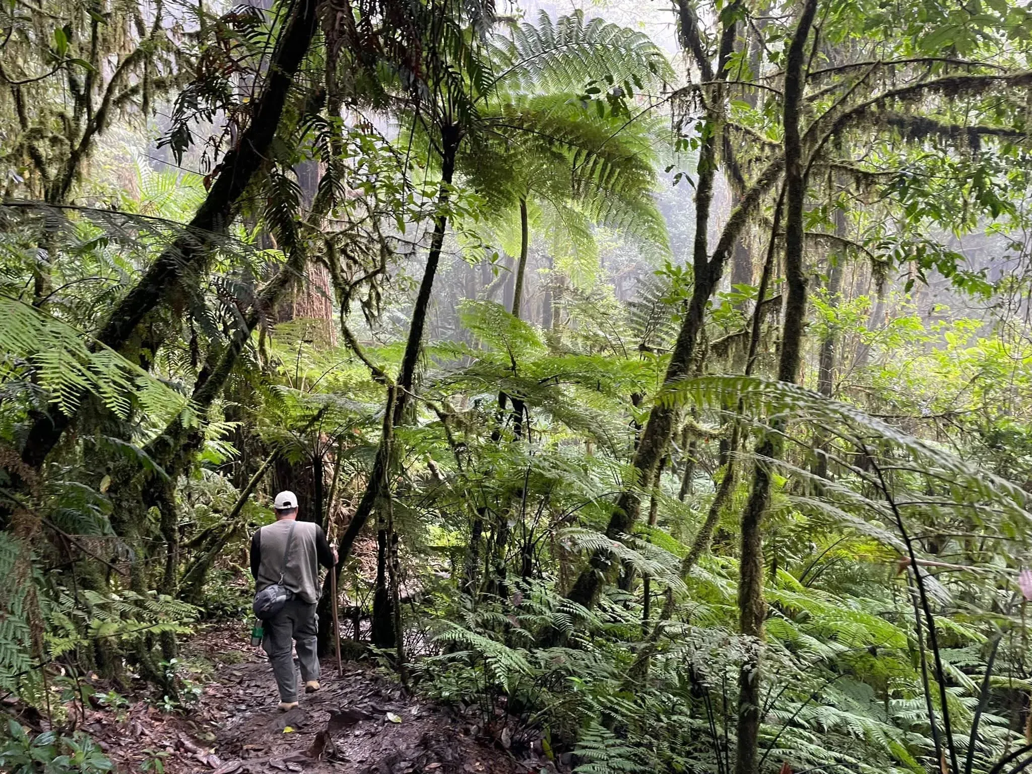
A guide with a walking stick hikes down a trail between tree ferns and mist.

La Tigra Eco Tours

Eco Tours

Misty trails, tree ferns and cloud forest, with guides who know every bend.

  • Honduras' first national park, 1980
  • 24,040 ha of cloud forest
  • Francisco Morazán
Scroll

The park

Honduras' first national park

It was born on 1 January 1980, under Decree 976-80, and has kept a cloud forest above Tegucigalpa ever since. For decades before that it was a forest reserve; today it is a park where the mist is part of the landscape.

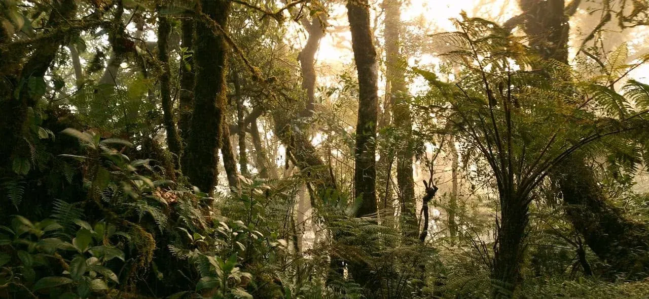
This is real cloud forest: oaks, pines and sweetgums, tree ferns, bromeliads and moss on every trunk, everything soaked in fog.

It is co-managed with AMITIGRA, the Fundación Amigos de La Tigra, which looks after the trails, the visitor centres and the protected area.

And it is far more than scenery. Its streams feed the capital with some 30 million cubic metres of water a year, according to figures published in 2013.

In all it covers 24,040 hectares, split between a core zone and a buffer zone.

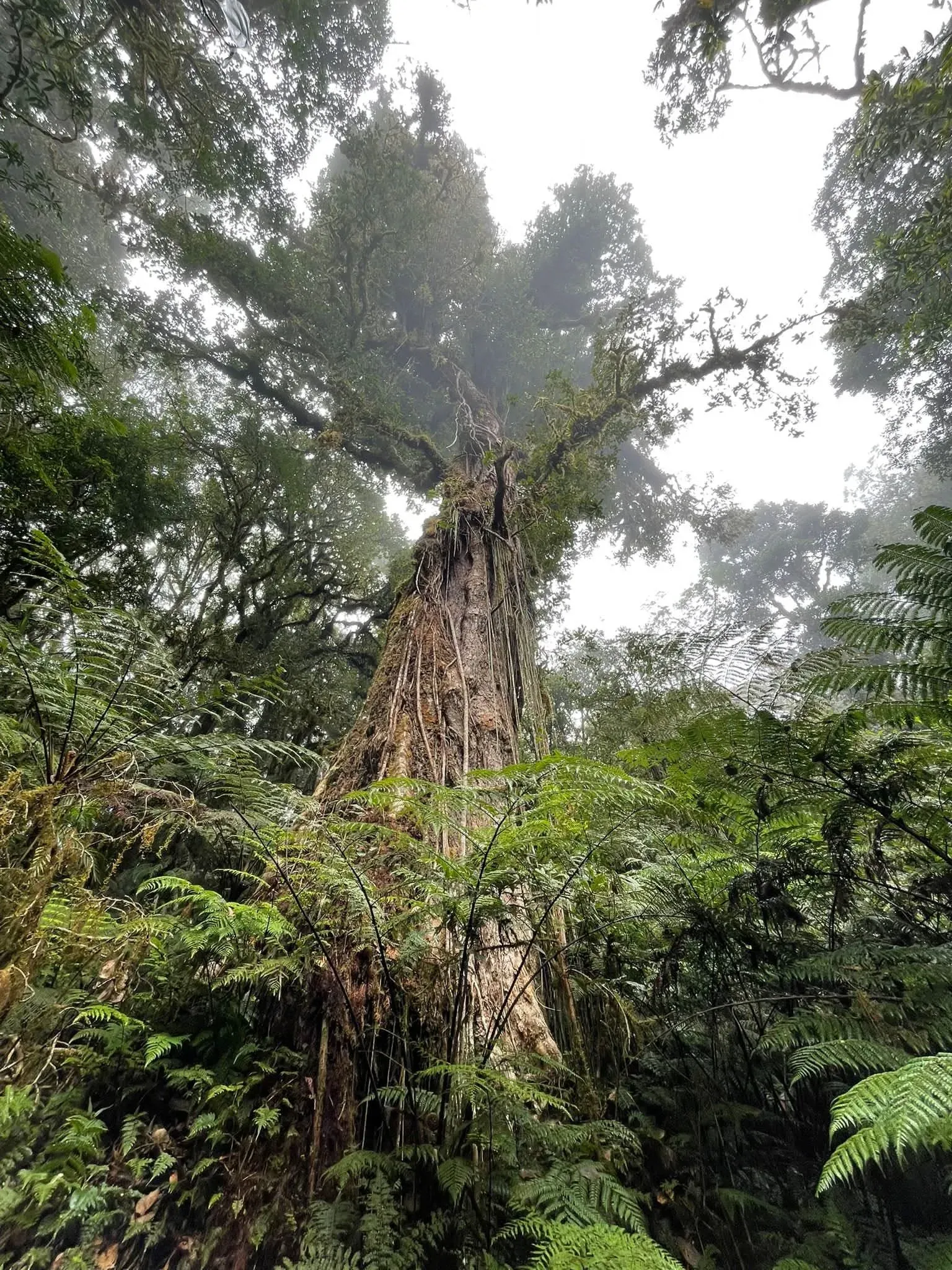
A huge old tree rises through fog above tree ferns in the cloud forest.
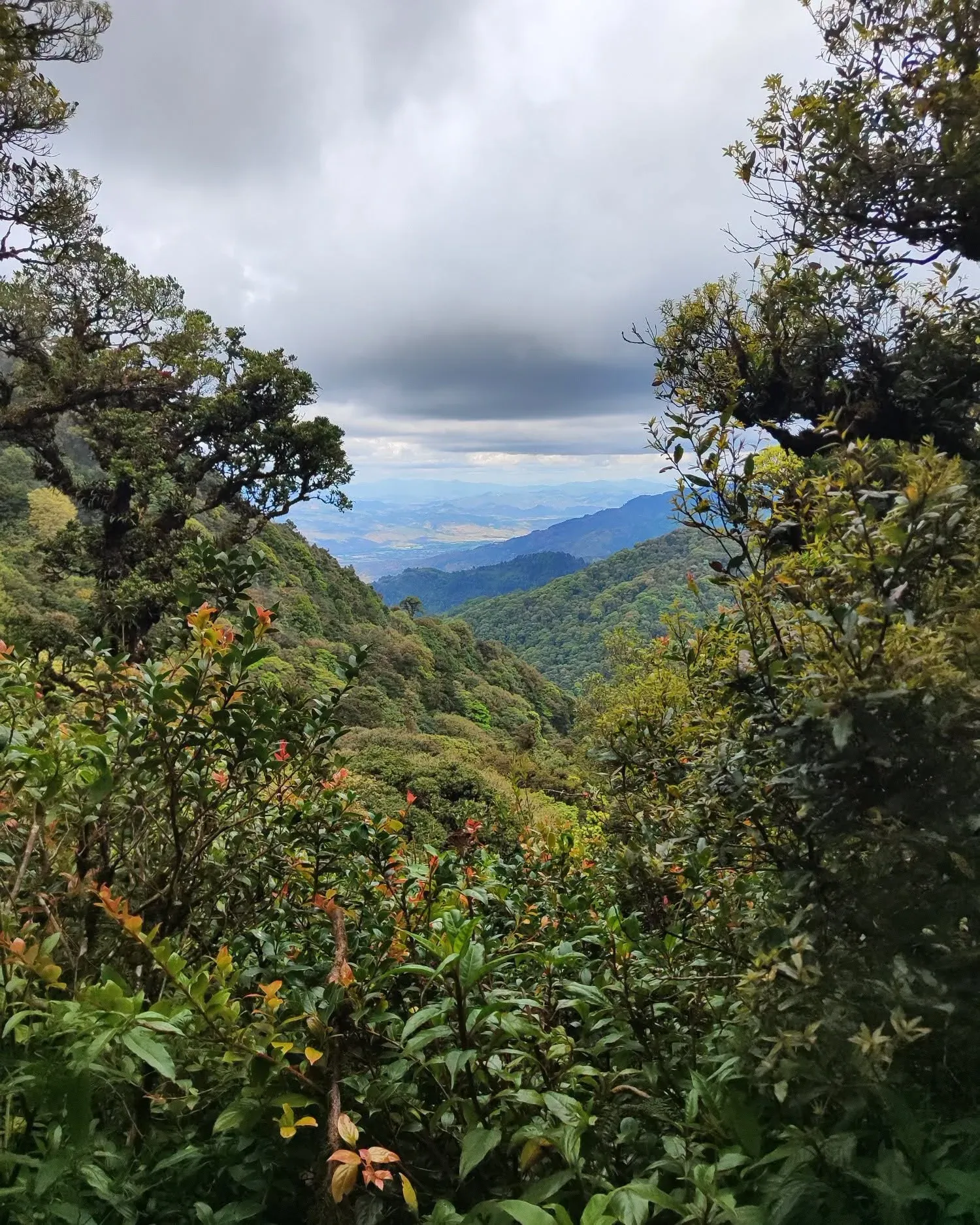
Forested mountain ridges and a distant valley under heavy clouds, seen through foliage.Decree 976-80

The city drinks from the forest.

About 30 million m³ of water a year
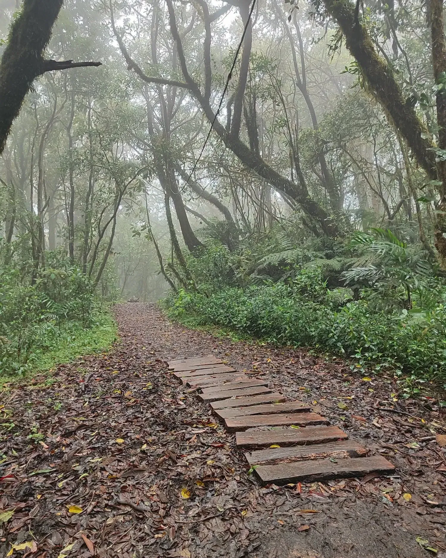
A wooden plank path between moss-covered trees and mist.

La Tigra in numbers

1980
Year Honduras' first national park was born
~8
Marked trails, from short walks to long days
24,040ha
Hectares in total, across core and buffer zones
7,571ha
Hectares of core zone
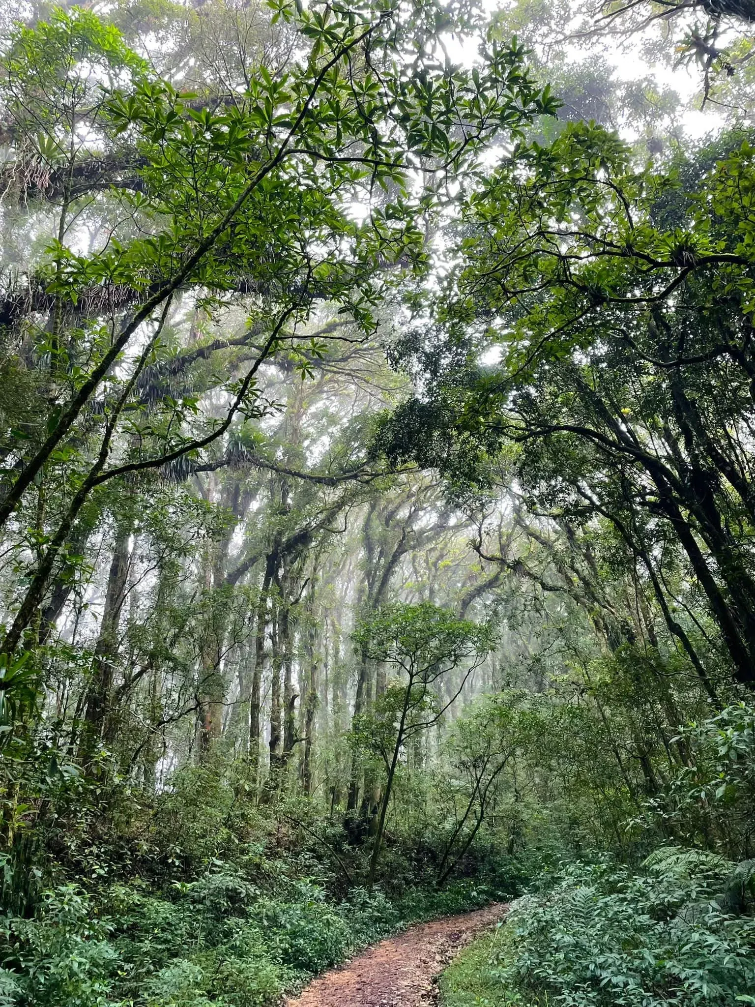
A reddish dirt trail winds uphill under a tall misty cloud forest canopy.
200+
Recorded bird species
~30M m³
Million cubic metres of water a year for the capital (2013 figure)

Chapter 01 · Trails

Eight trails

The park network has around eight marked trails, from walks of under an hour to half-day outings. Here they are, one after another. Ask your guide about the current condition and duration of each.
Trail 01 / 08

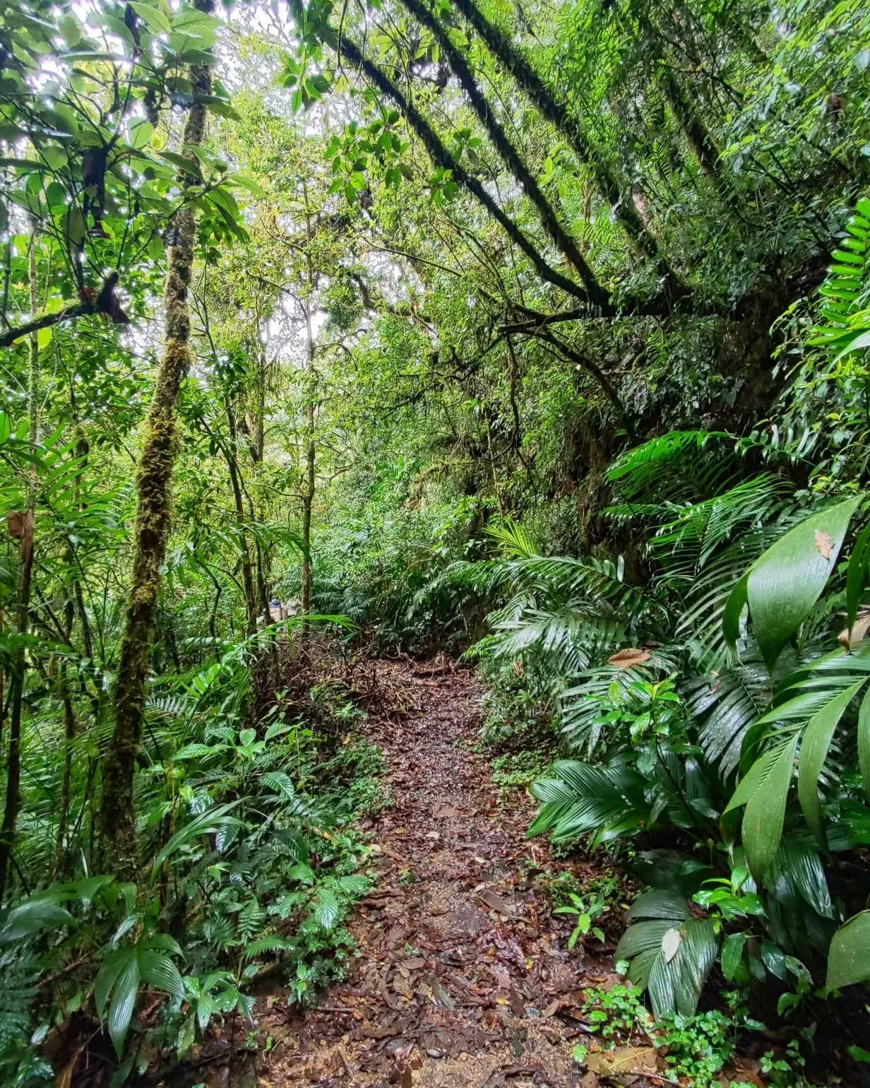
Granadillas

The shortest walk in the network: under an hour among ferns and moss-covered trunks. A calm start, or the right pick if you are short on time.
  • Short walk
  • Cloud forest
A muddy, leaf-covered trail through ferns and moss-covered trunks.

Trail 02 / 08

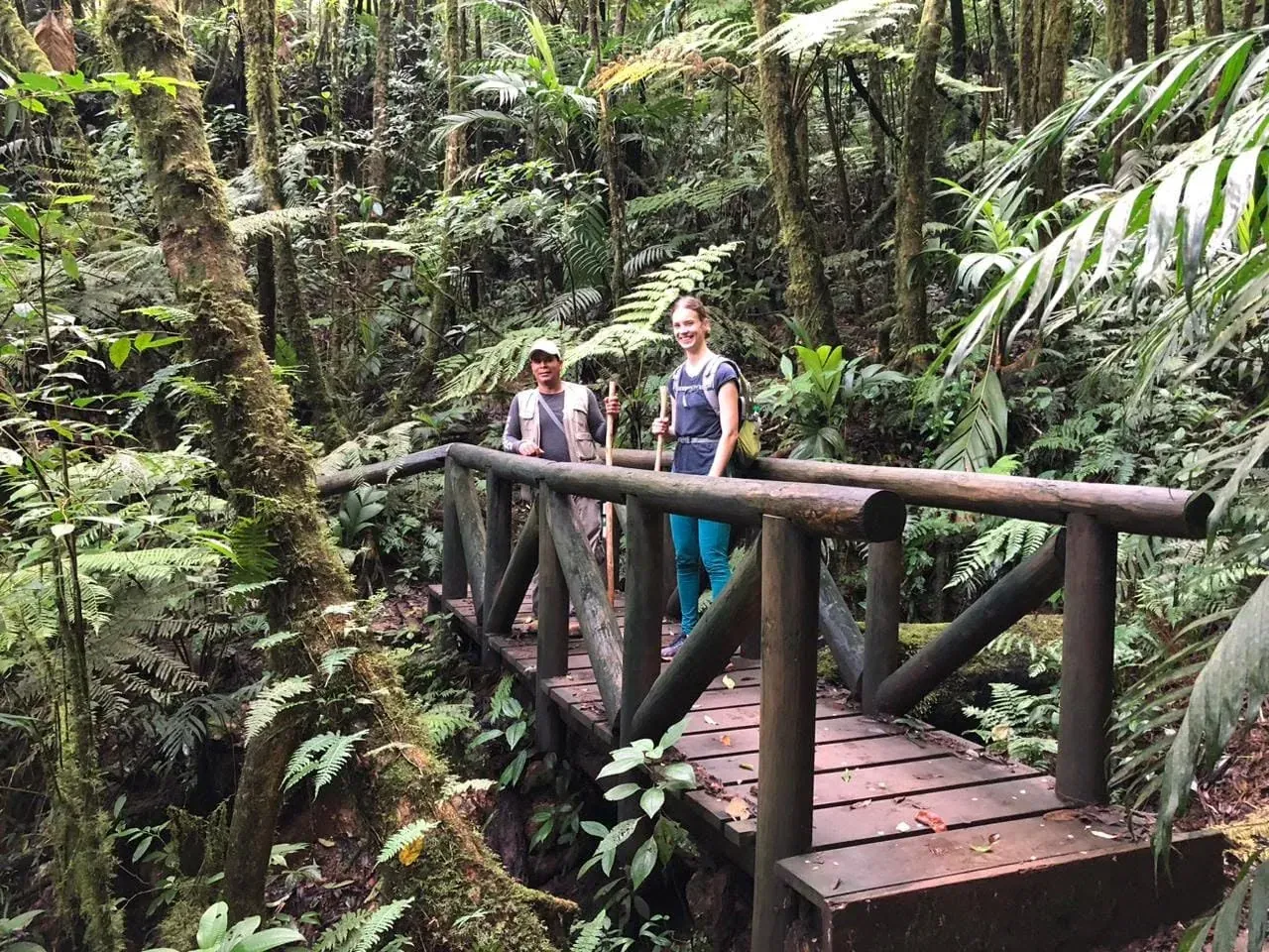
Jucuara

A medium-difficulty trail that takes a couple of hours. Wet ground and mist are part of the route; your guide sets the pace.
  • Medium difficulty
  • A couple of hours
A guide and a smiling hiker stand on a rustic wooden footbridge in the forest.

Trail 03 / 08

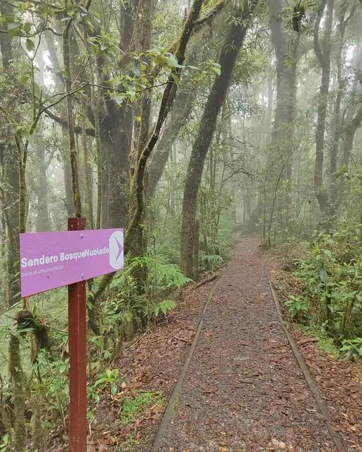
Cloud Forest

The one that names the ecosystem: mist, epiphytes and tree ferns in a forest that turns cloudy above roughly 1,800 m.
  • Cloud forest
  • Epiphytes and ferns
A gravel trail enters the misty forest beside a purple wooden sign reading Sendero Bosque Nublado.

Trail 04 / 08

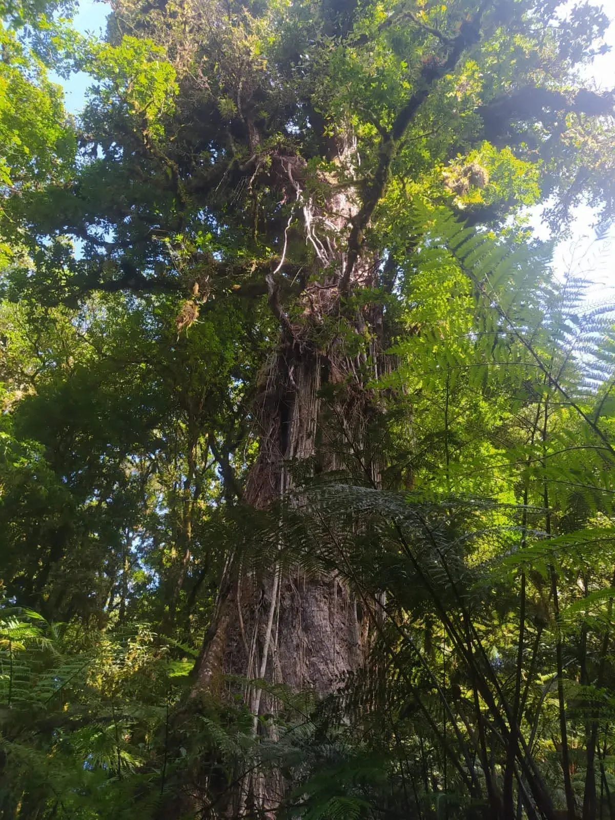
La Esperanza

About two hours of moderate effort among huge trees, ferns and filtered light. Bring shoes with good grip: nearly everything here is wet.
  • Big trees
  • About two hours
A huge vine-covered trunk rising to a sunlit canopy above tree ferns.

Trail 05 / 08

La Mina

Its name comes from mining: the park holds part of the old workings of the Rosario Mining Company, which worked El Rosario between 1880 and 1954. Ask your guide what remains and which stretch is worth walking.

  • Mining traces
  • Medium to demanding

Trail 06 / 08

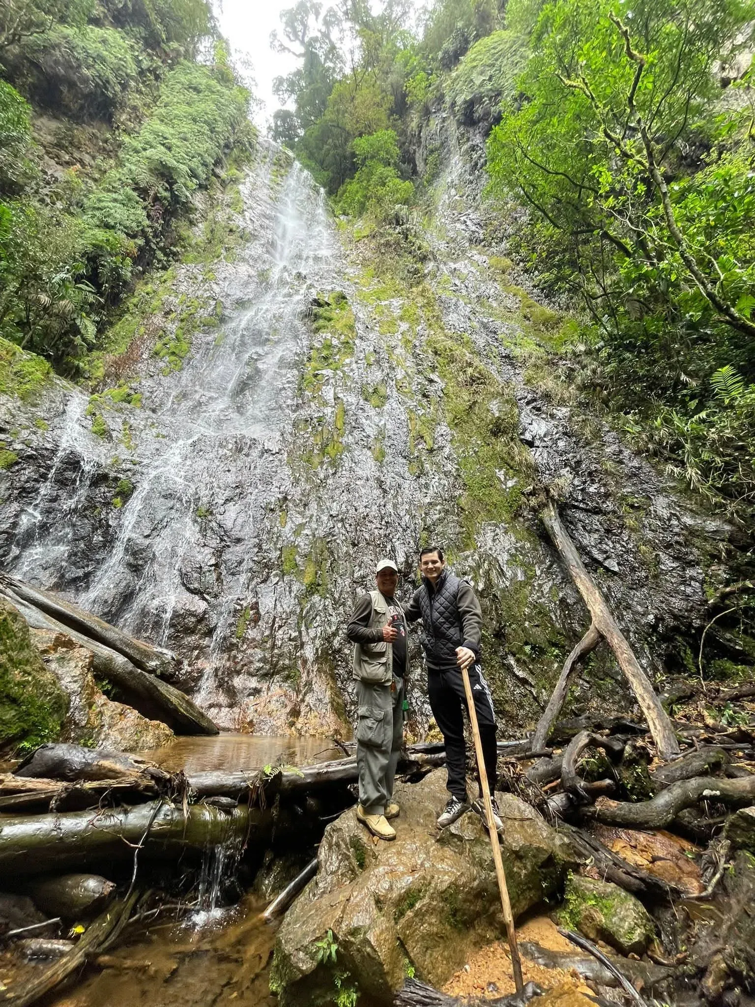
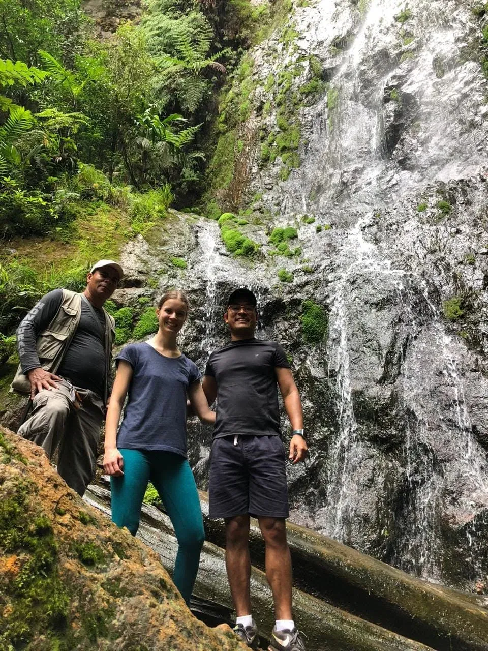
La Cascada

According to several sources, the most demanding in the network: a long outing that ends in front of falling water. Go with a guide, in waterproof footwear, and unhurried.
  • Waterfall
  • Demanding
Two visitors pose on a boulder in front of a tall waterfall pouring down a mossy rock face.
Three hikers, one of them a guide, pose in front of a tall waterfall and a fallen log.

Trail 07 / 08

Main Trail

The longest walk in the network: around four hours according to the sources. Wear solid footwear, carry enough water and start early.

  • Long walk
  • Half a day

Trail 08 / 08

Las Golondrinas

A trail of middling length, two to three hours depending on the source. A good place to bring binoculars: the park has over 200 recorded bird species.

  • Birdwatching
  • Best at dawn

Chapter 02 · Wildlife and flora

The living forest

Mist-wrapped forest holds small cats that almost never show themselves, over 200 recorded bird species and a vertical garden of ferns, mosses and epiphytes. You walk slowly and promise yourself no sightings.

  • Tigrillo

    Leopardus pardalis · Leopardus wiedii

    In Honduras "tigrillo" is the common name for two spotted cats: the ocelot and the margay, the cats behind the company logo. Both are nocturnal and elusive. They have been caught on camera traps in the park, but meeting one on the trail is exceptional.

    Nocturnal and elusive

  • Puma

    Puma concolor

    Listed among the park’s threatened species in the sources we consulted. It is the largest of the cats documented there and, like the others, almost never shows itself.

    Threatened species

  • Jaguarundi

    Puma yagouaroundi

    A slender, long-bodied cat with no spots. It appears in park lists alongside the puma and the tigrillo. Just as hard to see.

    Elusive

  • Birds

    Over 200 recorded species

    Among those cited are the resplendent quetzal, a wine-throated hummingbird, mountain guans, toucans and hawks. The best hours to watch tend to be early morning and late afternoon.

    Dawn and dusk

  • Flora

    Cloud forest

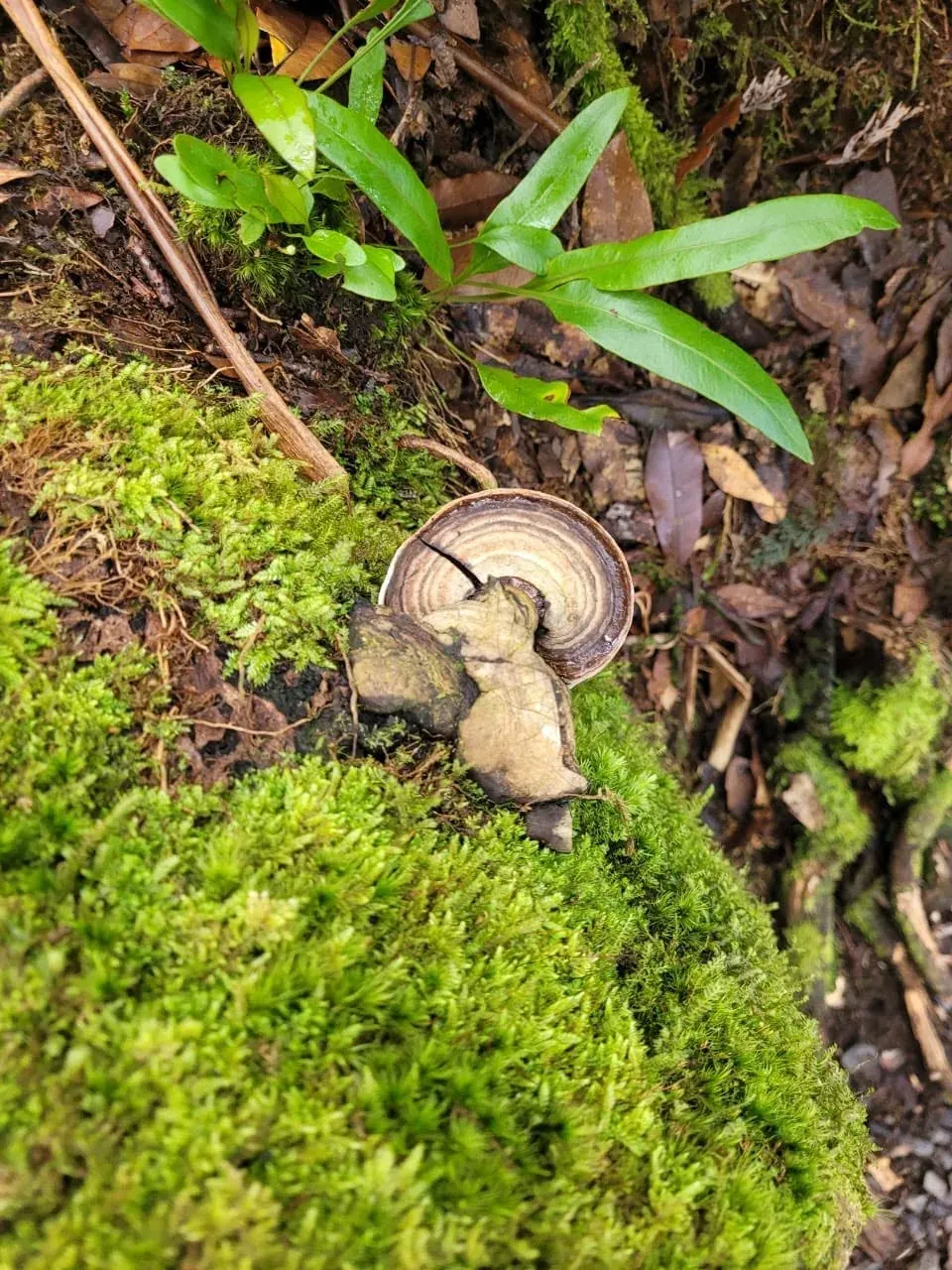
    Tree ferns, bromeliads and other epiphytes, mosses and fungi cover trunks and ground. The trees include oak, pine and sweetgum.

    Ferns, mosses, fungi

Straight talk: the cats are elusive and seeing one on a walk is exceptional. What we do promise is the forest they live in.
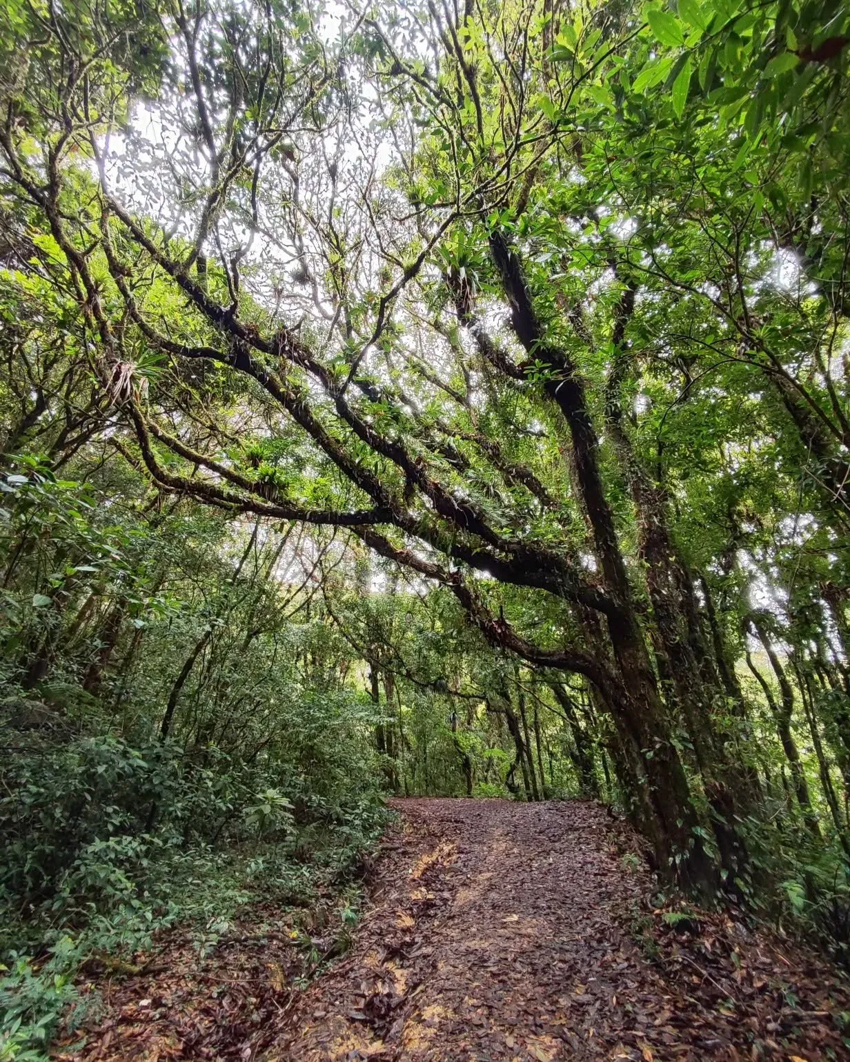
A leaf-strewn trail under twisting branches loaded with bromeliads and other epiphytes.
A bracket fungus with concentric rings on a cushion of bright green moss.
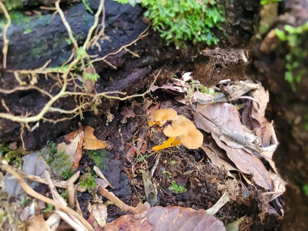
Small orange mushrooms in leaf litter beside a moss-covered log.
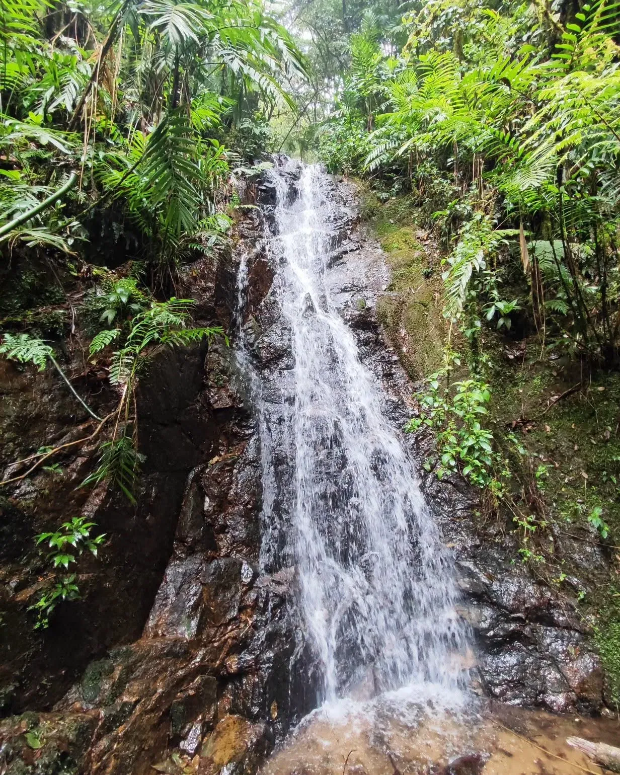
A narrow waterfall pours down dark wet rock surrounded by ferns.

Chapter 03 · Mining heritage

The forest that was a mine

Before it was a park, this mountain was a mine. The Rosario Mining Company worked gold and silver at El Rosario, San Juancito, between 1880 and 1954, and much of those workings now lie inside the park.

  1. 1880

    The company arrives

    Julius Valentine of New York founds the New York and Honduras Rosario Mining Company and takes over the El Rosario deposits at San Juancito.
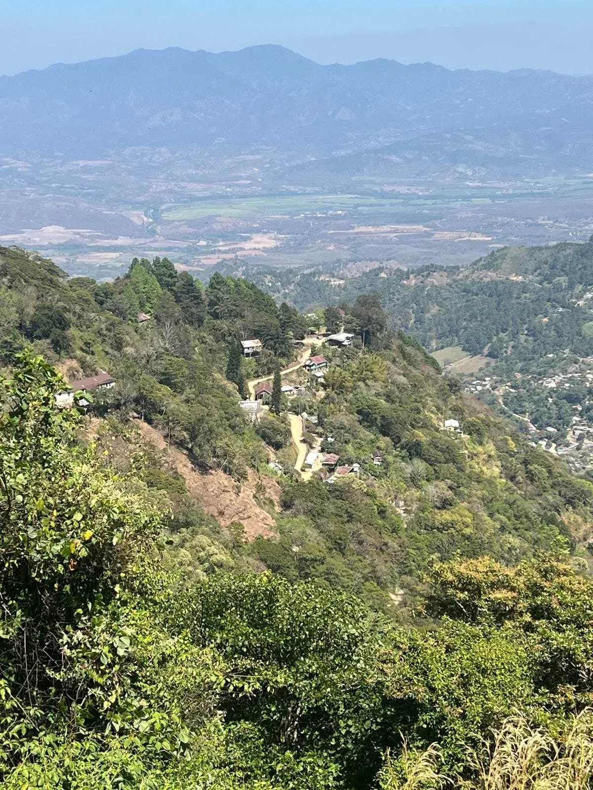
    A view from a hillside over forested mountains, scattered houses and a farmed valley in haze.
  2. 1954

    The mine closes

    After decades of extracting gold and silver, plus copper and zinc, the mine shuts. One source blames a general strike; the year itself is confirmed. San Juancito was built for the mine: secondary sources mention about 40,000 residents at its peak and about 5,000 today (approximate figures).

  3. Mid-1900s

    The forest is protected

    It becomes a forest reserve about three decades before turning into a park. Sources disagree on the exact date, so no year is printed here.

  4. 1980

    First national park

    Decree 976-80, dated 1 January 1980, creates La Tigra, Honduras’ first national park. Its stated aim: conserve the forest and maintain the reserve’s hydrological potential.

  5. Today

    What remains

    Part of the old mine workings lies inside the park, and the El Rosario visitor center operates in the former company facilities in San Juancito. A 2013 report estimates the park supplies about 30 million cubic metres of water a year to the capital and neighbouring communities.
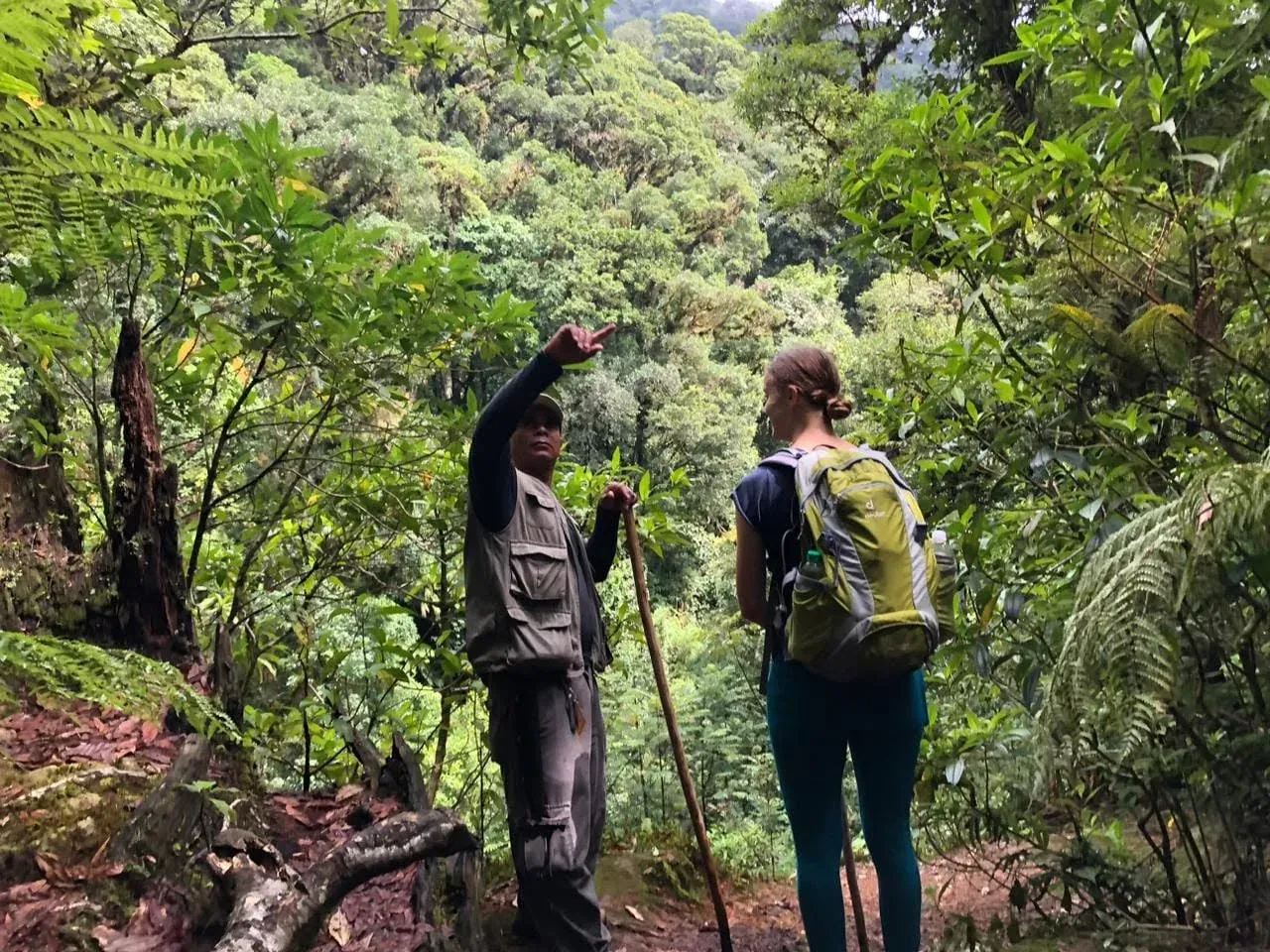
    A guide points out over a forested valley while a hiker with a green backpack listens.

The facts on this timeline come from public, secondary sources. Confirm them with your guide at the El Rosario visitor center.

Guided packages

Tours & rates

Five ways to walk the La Tigra cloud forest with a local guide. Prices are indicative while they are confirmed with the operator.

  1. Cloud Forest, half day

    • approx. 4 h
    • Difficulty:Easy
    • per person

    A guided walk along the Sendero Bosque Nublado, among ferns, moss and mist, with stops to read the vegetation and wildlife of the park.

    Includes

    • Local guide
    • Park entrance (billed separately, by category)
    • Safety briefing and trail map
    • Water and a light snack

    $35

    per personProvisional price

    Reserve via WhatsApp
  2. La Cascada, full day

    • approx. 7 h
    • Difficulty:Moderate
    • per person

    A full day heading for La Cascada, with time to cover the forest at an easy pace, rest by the water and have lunch on the trail.

    Includes

    • Local guide
    • Park entrance (billed separately, by category)
    • Packed lunch
    • Water throughout the route

    L 1,800

    per personProvisional price

    Reserve via WhatsApp
  3. Dawn birdwatching

    • approx. 4 h
    • Difficulty:Easy
    • per person

    An early start to listen for and find birds as the forest wakes up, with a guide who knows calls and habits. Small groups to keep disturbance low.

    Includes

    • Bird-specialist guide
    • Park entrance (billed separately, by category)
    • Hot coffee or tea at the start
    • Checklist of birds seen

    $55

    per personProvisional price

    Reserve via WhatsApp
  4. Mining heritage: San Juancito and El Rosario

    • approx. 6 h
    • Difficulty:Moderate
    • per person

    A walk through the story of the Rosario Mining Company, which worked gold and silver at San Juancito until 1954, and the remains of the old workings that now lie inside the park.

    Includes

    • Local guide with historical context
    • Park entrance (billed separately, by category)
    • Local transport depending on the access point
    • Water and a snack

    L 1,500

    per personProvisional price

    Reserve via WhatsApp
  5. Overnight forest camping

    • 2 days
    • Difficulty:Demanding
    • per person

    Two days with one night under the cloud forest canopy: an arrival hike, dinner at camp and a slow morning before heading back.

    Includes

    • Guide for the whole stay
    • Park entrance and camping fee (billed separately)
    • Dinner and breakfast
    • Safety briefing

    $80

    per personProvisional price

    Reserve via WhatsApp

Park entrance

Entrance fees

Park entrance is charged separately from the tours, at the park gate.

  • National visitor, adult

    To be confirmed

    L 50

  • National visitor, under 12

    To be confirmed

    L 30

  • Foreign visitor, adult

    To be confirmed

    $10.00

Exchange rate in use: US$ 1 = L 26.85 (updated 2 October 2026) - approximate value

Source: built-in estimate.Rates By Exchange Rate API

Conversion is indicative only; each price is charged in its original currency.

Provisional fees, subject to confirmation with AMITIGRA. They come from secondary sources; no official table is published.

How to get there

Two roads to the forest

From the center of Tegucigalpa the park is reached through two entrances, each with its own visitor center. Pick the one that fits your day.

The interactive map loads when you reach this section.

Driving distances estimated with OSRM on OpenStreetMap data. They are approximate; travel time depends on traffic and road conditions, so ask us before you set out.OSRM/OpenStreetMap.

  1. Jutiapa

    via El Hatillo

    approx. km
    ~21

    From Plaza Morazán, central Tegucigalpa

    Best for

    • The entrance closest to the capital.
    • Visitor center, cabins and ecolodge all in one place.

    Good to know

    • By public transport there is a bus option to the village of El Chaparro followed by a short walk to the center. Published schedules are old: confirm them before you go.
    • Confirm the entrance hours when you book.
    View on OpenStreetMap: Jutiapa Visitor Center
  2. El Rosario

    via San Juancito and Valle de Ángeles

    approx. km
    ~42

    From Plaza Morazán, central Tegucigalpa

    Best for

    • Mining heritage: the visitor center sits in the former Rosario Mining Company facilities in San Juancito.
    • Pairing the visit with the colonial town of Valle de Ángeles.

    Good to know

    • The Valle de Ángeles stretch is a steep, narrow dirt road: a 4x4 is recommended.
    • In the rainy season ask about road conditions before setting out.
    View on OpenStreetMap: El Rosario Visitor Center

Plan your visit

Arrive ready

A cloud forest is more fun when your body is comfortable. Here is what is worth knowing before you leave home.

Climate and season

La Tigra National Park is mountain cloud forest: the air is cool, the ground is damp and mist can close in on the view within minutes. Travel guides point to the dry season, roughly November or December to April, as the most comfortable, and to the rainy season, May to October, as the muddiest on the trails. Mornings and weekdays tend to be quieter.

We do not publish exact temperatures because we have no reliable source for the park itself.

What to bring

  • Layers

    A t-shirt, a warm layer and something windproof. It is cooler up here, even when the city is hot.

  • Rain jacket

    A light rain jacket. Drizzle shows up without warning.

  • Grippy footwear

    Firm, non-slip soles, ideally water resistant. After rain the trail is mud and leaves.

  • Water

    Bring your own, plus a snack. And a bag to carry back whatever you bring in.

  • Repellent

    Helpful in damp areas and near water.

We look after the forest

  • Stay on the trail

    Marked trails protect the soil and the roots.

  • Your waste goes with you

    We leave no litter, not even organic.

  • Take nothing

    No plants, no flowers, no animals. They are for looking and photographing.

  • Follow your guide

    They know the terrain and the park instructions.

  • Watch from a distance

    Wildlife is not chased or fed.

The official rules are set by the park administration (AMITIGRA). Confirm them before your visit.

Hours and fees

Public sources disagree on the entrance hours and on the official fee, so we do not publish them as fact. Confirm them with AMITIGRA or with us before your visit.

See our tours and rates

Frequently asked questions

When is the best time to go?

The dry season, roughly November or December to April, usually gives firmer trails. From May to October it rains more and gets muddier, but the forest looks intensely green. If you are unsure, message us and we will look at your dates.

Do I need a guide?

The park administration recommends going with a guide. With us you walk the trail with someone who knows the terrain, explains what you are seeing and sets the pace for the group.

What fitness level do I need?

The park has around eight trails, from short walks of about 45 minutes to routes of about 4 hours. Published distances vary by source, so ask for the current ones and we will help you choose for your group.

What are the hours and the entrance fee?

Public sources contradict each other on both, so we would rather not give you a figure that may be out of date. Confirm them with AMITIGRA or with us before your visit. For our tours, see the rates section.

What if it rains?

Light rain is part of the cloud forest: with a rain jacket and good footwear the walk is still pleasant. If the forecast worries you, message us before leaving and we will check it together.

How do I get to the park?

There are two main entrances. Jutiapa, the closest to the capital, via El Hatillo. And El Rosario, via Valle de Angeles and San Juancito, on a steep dirt road where a 4x4 is recommended. Road conditions can change, so ask before you set out.

Contact

Let's go to the forest

Vamos al bosque

Tell us when you want to go and how many of you there are. We will reply by message with options for your visit to La Tigra.

Small groups, families and private outings

Going with friends, family, your team or your class? Tell us what your group is like and we will plan the outing with you.
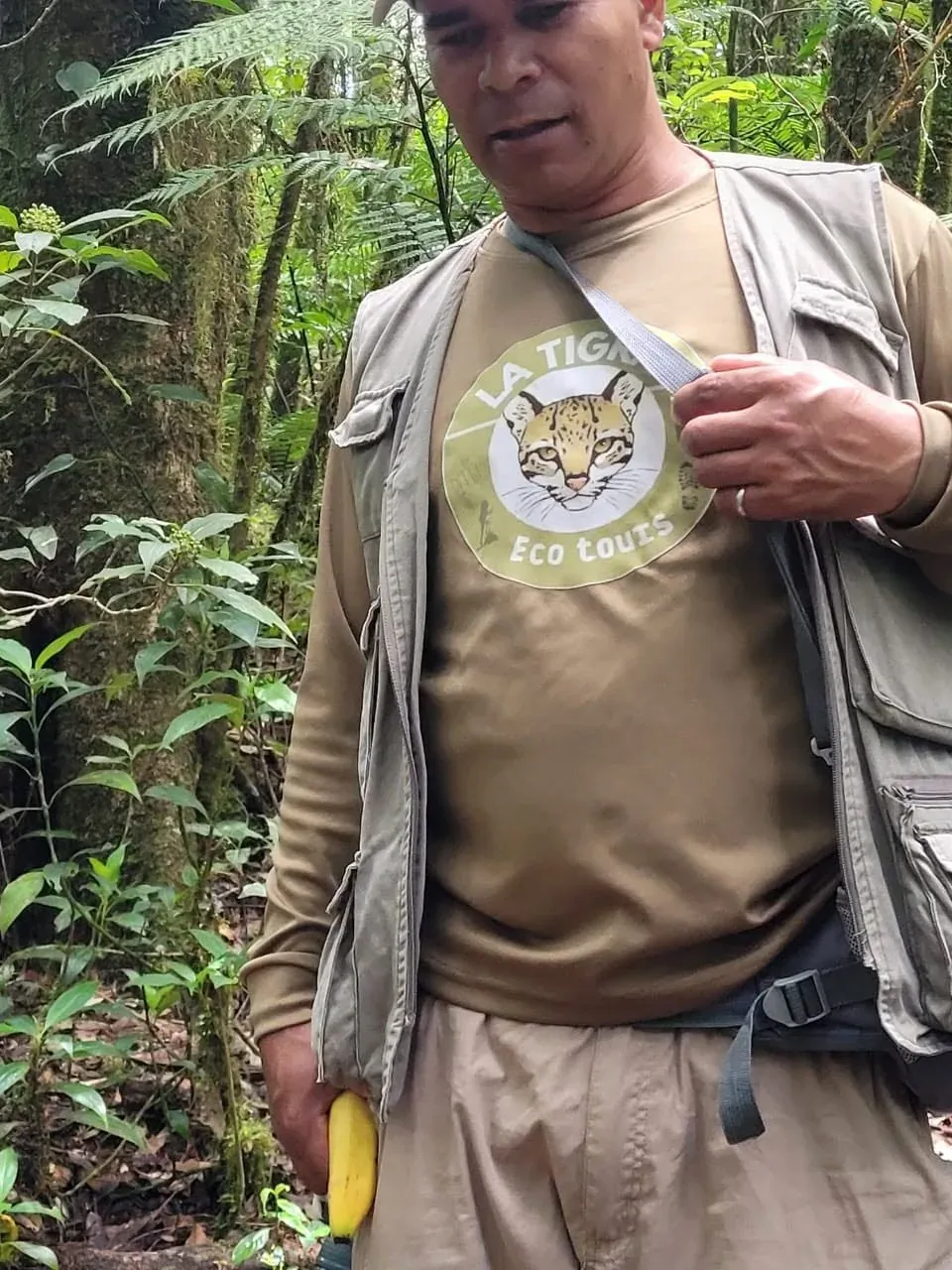
A guide in an olive shirt printed with the La Tigra Eco Tours ocelot logo, standing in the forest.
Your guide on the trail